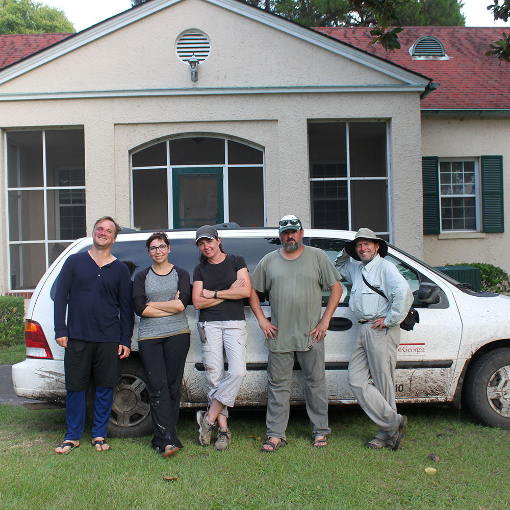
The Georgia Coast Atlas Team

Anthony (Tony) Martin
Faculty Project Leader, Professor of Practice
Department of Environmental Sciences

Michael Page
GIS, aerial photography
Lecturer, Department of Environmental Sciences

Steve Bransford
Videography

Allen Tullos
Co-director, Emory Center for Digital Scholarship

Shannon O'Daniel
Project management, videography

Anandi Salinas
Web development, videography

Saundra Barrett
Web development

Alan Pike
Videography
The Georgia Coast Atlas
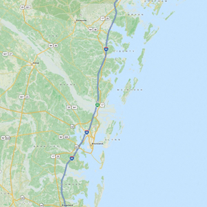
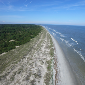
The Georgia coast, approximately 100 miles long is defined by its barrier islands and their back-barrier environments.
The Georgia Coast Atlas is a collaborative project between the Emory Center for Digital Scholarship and the Emory Environmental Sciences department.
Experts talk about the industry, culture, and ecology of the Georgia Coast.
Learn about the maps used in the Atlas and how to navigate the site.