Using the Atlas
The Georgia Coast Atlas is built to let a visitor to the site explore the Georgia Coast in multiple ways. Following the navigation on the left, you can explore information about the islands of the Georgia Coast and view several maps displaying information about time and change on the islands. You can also explore articles, panoramas, videos, and photogalleries showcasing the rich ecological, environmental, geological, and cultural dimensions of the coast.
Elements
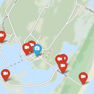
Points of Interest
Articles
Videos
Galleries
Panoramas
The Islands
Maps
The Georgia Coast Atlas brings together text, images, videos, maps and geospatial data from a variety of sources including data collected by Emory researchers, academic libraries, and public domain government data. While atlas have traditionally been bound into book form the digital atlas provides a comprehensive and interactive way to explore the Georgia Coast through spatially referenced information.
Historic shoreline data is provided by the U.S. Geological Survey. Shoreline vectors were derived from historic sources and represent the high water line at the time of the survey, whereas modern shorelines represent the mean high water line.
The Georgia Coast Atlas
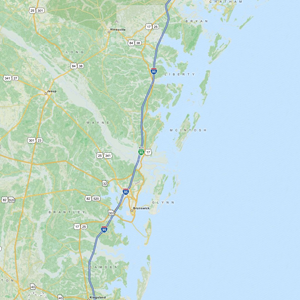
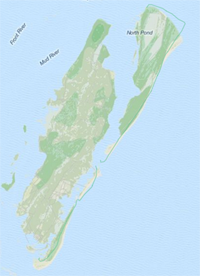
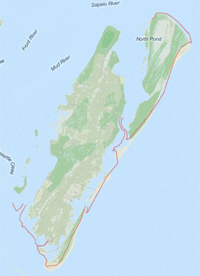
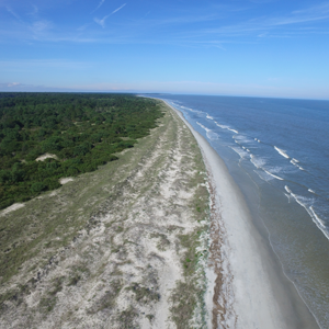
The Georgia coast, approximately 100 miles long is defined by its barrier islands and their back-barrier environments.
The Georgia Coast Atlas is a collaborative project between the Emory Center for Digital Scholarship and the Emory Environmental Sciences department.
Experts talk about the industry, culture, and ecology of the Georgia Coast.
Learn about the maps used in the Atlas and how to navigate the site.